Ever since I found this list of 15 beautiful hikes within Tokyo, Mt. Kawanori was at the top of my hike wish list. (Okay, fine, Hajijo-jima actually was first. But Mt. Kawanori seemed easier to access, and sometimes I arrange my wish lists with practicality in mind.)
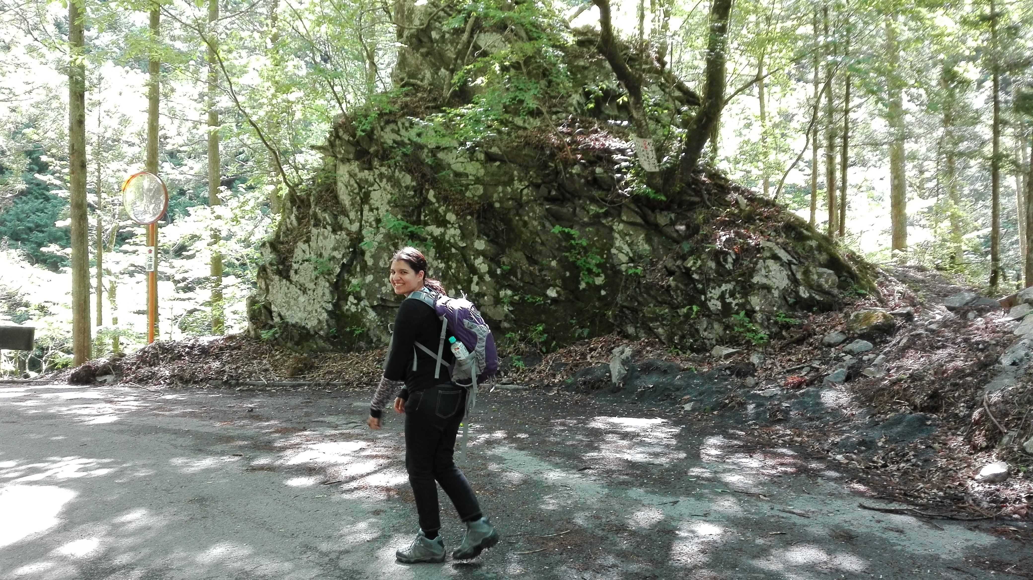
A few months ago, my flatmate Edith expressed interest in this hike as well, so the two of us tried the hike during Golden Week (the first week of May).
We filmed a vlog that it took me two months to get around to editing, which you can watch below.
For anyone interested in a more detailed itinerary, just scroll to underneath the video.
Getting There
We traveled to Okutama Station, which is all the way at the end of the Ome Line.
Generally speaking, the easiest way to get there is to take the Chuo Line to Tachikawa, then the Ome line to Ome, then the other Ome Line to Okutama. But on holidays, there’s a line called the Holiday Okutama Express that stops along the Chuo Line, so all you have to do is get to a station where it stops, and voila! You can get on a train all the way to Okutama in one go. The caveat is that this train splits along the way, so you have to be careful that you’re in a car that’s headed for Okutama.
Once you get to Okutama Station, there’s only 1 exit. You get to the exit, and you turn right without crossing the street—that’s where the #1 bus stop is.
Here you have to take the bus to Kawanori-bashi, or Kawanori Bridge.
(Note: be careful if you read kanji, because the mountain is usually written 川苔山 while the bridge is usually written 川乗橋.)
Normally, you’ll want to check the schedule in advance, because the buses don’t go more than once an hour.
But because we went in a high-demand time (i.e. Golden Week), there were special buses at the #1 bus stop that went specifically to Kawanori Bridge.
The bus stops right in front of the starting point for the hike.
In our case, we aimed to be on the Chuo Line by 6:30am; we started out a touch late, but still were on a train around 7. We reached Okutama, I believe, around 8:30-8:45.
Our Hiking Route
In terms of landmarks, this was our route:
Kawanori Bridge Bus Stop -> immediate detour just after the first big bridge -> Hyakuhiro Falls -> taking the right at the fork, so that we were on the southern loop toward the summit -> minor exploration on a ridge (not included in the video because there wasn’t much to see) -> Mt. Kawanori summit -> northwards from the summit to the major junction -> One-no-yama-no-kami (or, God of Mt. One; this is a brief flat area with a parking lot and a small shrine) -> Hatonosu Station.
The trails are extremely well-marked. We had some confusion just after we took the righthand turn to take that southern loop, when we seemed to come to another, unmarked junction. But it probably wasn’t a real junction at all, and we made the right call in which way to go. (It was to the right, again.)
We reached Kawanori Bridge around 9:15, but took a moment to have breakfast there, so we started hiking at 9:30. Including a 20-ish minute break at Hyakuhiro Falls and a few detours, we reached the summit around 13:30, where we took another 20-minute break. After that, we mostly walked continuously, though we did take a rest at One-no-yama-no-kami and again between there and the town where the hike ended. We reached Hatonosu Station around 16:30.
This is a map of our route. The hiking sites estimate that our hike was 13km long; however, we’ve since determined that the hiking sites only take into account horizontal distance and not vertical, so make of that what you will. The summit is just to the left of that last circle where the route heads basically straight south south east. As you can see, there’s a fair bit more distance to walk down than up.
As for elevation, this was our elevation map. Again, I’m a little dubious as to its accuracy. We seemed to experience more flats on our way down than this depicted, but maybe that’s also simply that we were fairly exhausted by the time we reached that point. (Note: the x-axis depicts distance traveled in km, and the y-axis elevation in m.)

Getting Back
Getting back is easy. The trains in Hatonosu Station are regular. Unless you’re out extremely late—which is inadvisable anyway—you should have no trouble getting a train back into town.
TIP: there’s a public hot spring bath at Kawabe Station, just after Ome on the way back into Tokyo. It’s geared towards hikers, and is a wonderful place to stop and refresh yourself after a long hike. They have several types of baths, indoors and outdoors, soap, shampoo and conditioner readily available, and two types of saunas. They also have massages and a restaurant. They have storage for large luggage, but usually the lockers are big enough to contain any backpack I take hiking. You can rent towels for a small extra fee, so all you really need to bring is a change of clothing.
Comments
This was a really fun hike! It’s supposed to be really nice in all seasons, so I might hike this mountain again.
Taking detours and breaks into consideration, I think we made pretty good time! We mostly just slowed down at the last segment of the downhill, where the hike finally started to get us in the legs.
The downhill was hard on our knees. We really slowed down on that last leg, and we were both walking a little funny in the end. But the hot springs helped with that quite a lot!
Edith was a bit dubious about the idea of planning another thing after such a big hike, but in the end she was really delighted with the hot springs!
So—really great hike, and a great day.